


New European Weather Models Predict Uneven Snowfall Across U.S. This Winter
New European Weather Models Predict Uneven Snowfall Across U.S. This Winter

Lauren AndersonMon, September 14, 2026 at 12:39 PM UTC
2
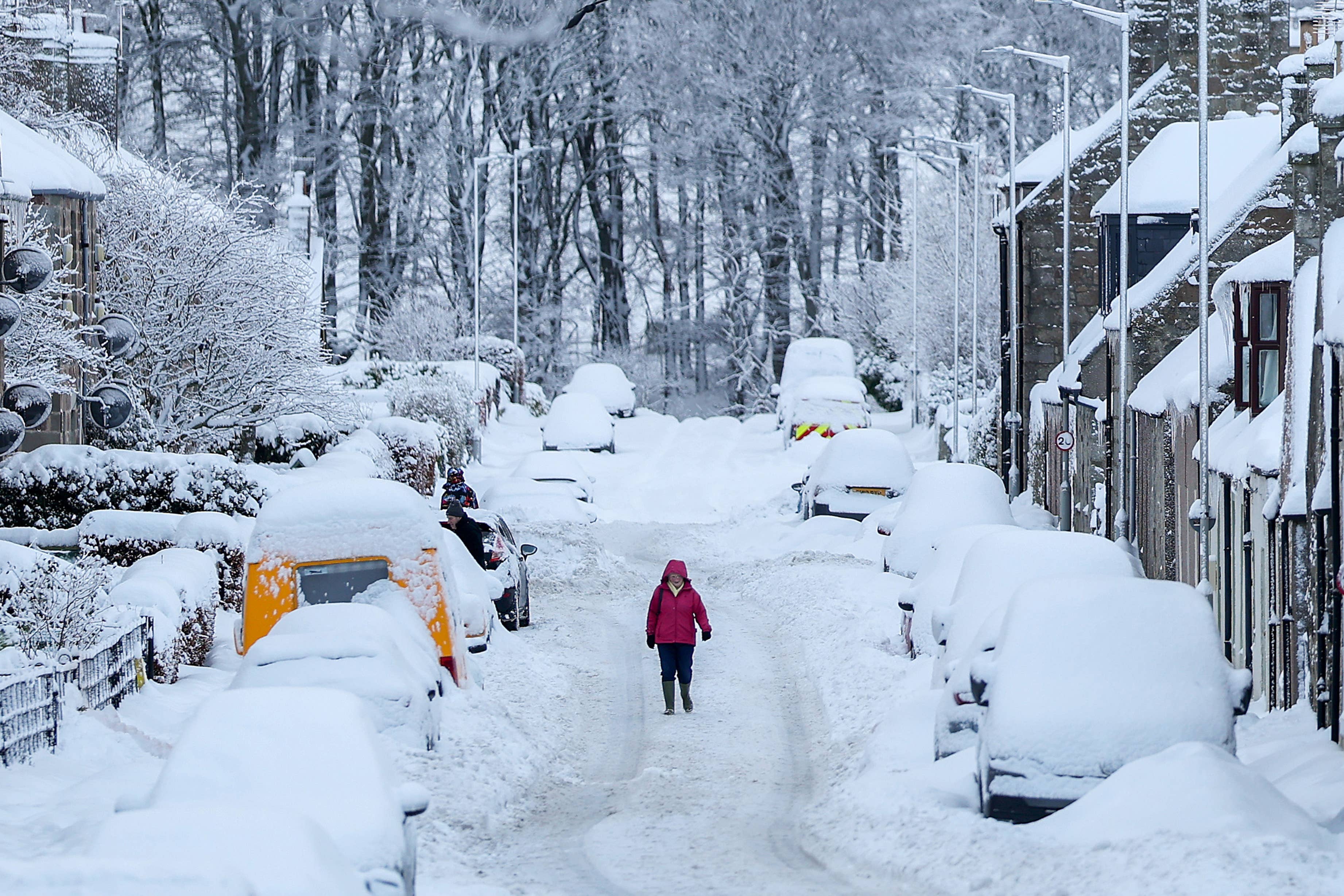
Winter is still months away, but new European weather model maps are already showing a surprisingly divided outlook for snow across the United States.
The latest seasonal projections from the European Centre for Medium-Range Weather Forecasts (ECMWF), along with data from the U.K. Met Office, point to a potentially unusual pattern for winter 2026-2027.
According to the weather analysis site Severe Weather Europe, some parts of the country could see above-normal snowfall, while areas farther north may receive less snow than usual.
The projections are tied in part to the strengthening El Niño in the Pacific, which can influence the position of the jet stream and the track of winter storms.
Where More Snow Could Fall
The ECMWF snowfall projections show above-normal snowfall potential across portions of the Southwest, Southeast, Central Plains, Midwest, East and Mid-Atlantic.
That includes areas that don’t always sit at the center of the country’s biggest winter storms.
The model also points to strong snow potential in parts of the mountain West, including California’s Sierra Nevada, Utah and the central and southern Rockies.
For winter sports enthusiasts, that could be particularly significant. Colorado, Arizona and New Mexico are among the areas highlighted for elevated snowfall potential in the seasonal projections.
But the maps show a very different picture farther north.
The Northern U.S. Could See Less Snow
The ECMWF projections indicate below-normal snowfall potential across parts of the northern United States, as well as southern and Atlantic Canada.
Advertisement
That creates one of the most notable features of the outlook: a potential north-south divide in winter snowfall.
Severe Weather Europe says an active southern jet stream interacting with periodic cold-air intrusions from Canada could push the primary winter storm track farther south than normal.
That doesn’t mean northern states will avoid snow altogether. Seasonal models cannot predict individual storms this far in advance, and the projections are expected to change as winter approaches.
Still, the broad pattern is notable.
The ECMWF and U.K. Met Office projections also show above-normal precipitation across portions of the southern and eastern U.S., while some areas farther north could see drier-than-normal conditions.
The pattern is broadly consistent with what would be expected during a strong El Niño winter, although the exact temperature and snowfall outcomes will depend on how atmospheric conditions develop over the coming months.
For now, the biggest takeaway is that winter 2026-2027 may not look the same from one part of the country to another. Some states could be lining up for an unusually snowy season while others that typically expect significant snow may have a quieter winter.
And with the first major seasonal forecasts now emerging, there will be plenty more to watch as winter gets closer.
RELATED: Map Shows Which NFL Cities Are Getting More Affordable in 2026
This story was originally published by Men's Journal on Sep 14, 2026, where it first appeared in the News section. Add Men's Journal as a Preferred Source by clicking here.
Source: “AOL Breaking”
